
價格:免費
更新日期:2017-07-18
檔案大小:36.2 MB
目前版本:1.0.1
版本需求:需要 iOS 8.0 或以上版本。與 iPhone、iPad 及 iPod touch 相容。
支援語言:英語
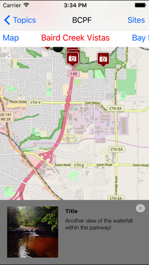
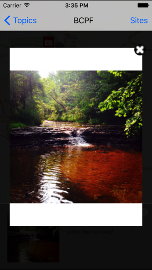
The Explorer app allows you to take any iOS device out into your local environment to begin recording photos, audio, videos, and journal entries. These observations will then be uploaded to a community map (the Surfer application) that can be accessed via a web browser.
Maps can be great tools for helping us with any number of tasks: getting places, marking boundaries, planning for homes and towns, and showing how our land and natural resources are used. We rely on them, whether we know it or not, for bringing order to our everyday lives. And yet as useful as they are, most maps are quite limited. They do a poor job of capturing the stories and culture of the natural places in our communities that inspire and trouble us. Moreover, maps are often made by experts, with little or no input from the people who use them and live in the places they depict. When combined with the analytical power of geographic software, these narratives about particular locations, or spatial narratives, can potentially enrich our understanding of, and appreciation for, the places where we live and the collective value they hold for the people who live and visit there.
With this in mind, we have designed a suite of web-based and mobile applications for collecting and constructing place-based stories that we call spatial narrative geotools. The geotools allow citizens to create and map natural and cultural observations of their community or place using their unique perspective. Their story is then added to the observations of others to create a shared story about the places that are collectively important to them. People can view or add to these shared observations using our app, and in doing so collect and construct place-based stories. As more users participate, these place-based stories can potentially enrich our understanding of, and appreciation for, the places where we live and the collective value they hold for the people who live and visit there.
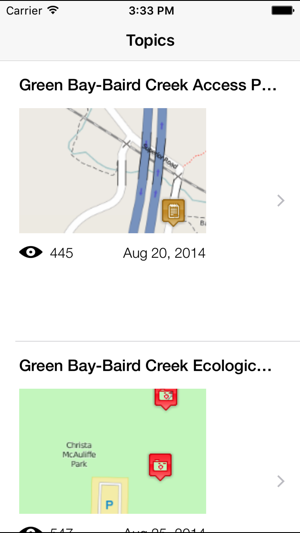
We are piloting a prototype of the geotools with community members in Green Bay, Wisconsin. Community authors have helped to identify local topics - such as water quality, fish and wildlife, or local heritage - that relate to the Bay and the associated natural amenities of the region. Authors have also identified key sites that are representative of those topics. Over the next year, we will be gathering feedback from a diverse group of individuals that will be using these technologies and providing input regarding the usability and effectiveness of the tools. We are particularly interested in how this application affects users’ engagement with these topics and places and in the stories that emerge based upon the information that people share.
支援平台:iPhone